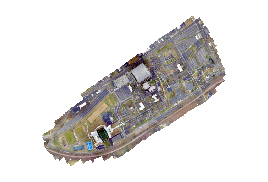
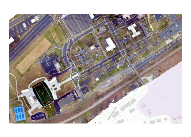
Small-UAV equipment has provided GADS with a low cost mapping alternative compared to classical manned aerial photogammetry. Small-UAV's are utilized to create detailed maps that rival freely assessable maps acquired through the internet. Additionally, this technology provides the campus with a cost and time effect method of performing rooftop building assessments.
UAV Orthophoto of ETSU's Main Campus


 Stout Drive - Partial Closure...